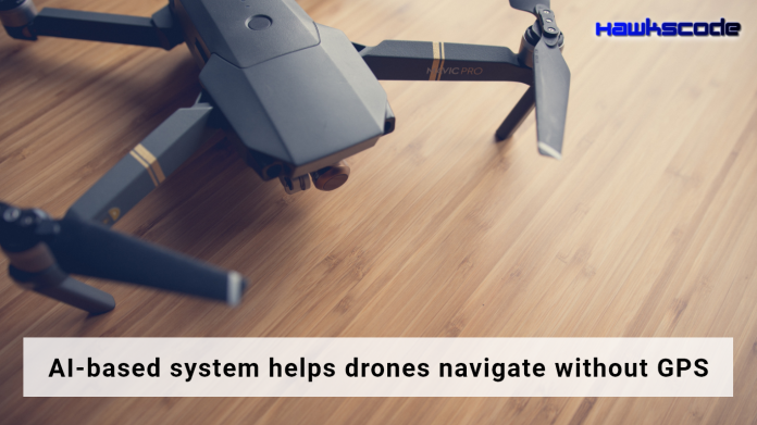
AI based system helps drones navigate without GPS
In this blog, we are going to talk about, an AI based system helps drones navigate without GPS. Japanese researchers have developed a real-time drone-locating system that uses an onboard laser sensing device and artificial intelligence that enables it to operate even where GPS fails.

Important Announcement – EasyShiksha has now started Online Internship Program “Ab India Sikhega Ghar Se”
GPS navigation systems use stored map information for determining optimal route selection based on the shortest path algorithm. This technique is quite successful in getting you to where you want to go in a reasonable time and is fault-tolerant in the sense that it can automatically reroute in case of error.
One disadvantage of this approach is that it does not have any memory. It does not automatically remember the actual time it took you to get there nor does it learn from that experience and use the actual measurements to improve future route selection.
The accuracy of GPS, the current go-to location technology for drones, can drop considerably when the vehicle is flying between high-rise buildings and in mountains where signals from satellites tend to be randomly deflected or blocked so to change this approach AI based system helps drones navigate without GPS. Under the system, data on the geographical features from the onboard sensor is compared with existing data in a geographical database to determine the drone’s position.
Top Courses in Software Engineering
The new system was developed to address this problem so a drone can remain on the right path in such areas.
Companies like Deepmind, before the millennials were born, people had to drive in their cars without any form of GPS navigation. If you wanted to go someplace new you used a paper map. DeepMind had to come up with a way to train AI to do, basically, the same thing. Around this time last year, the company developed a way to turn Google Street View imagery into a training environment for AI.
Empower your team. Lead the industry
Get a subscription to a library of online courses and digital learning tools for your organization with EasyShiksha
Request NowQ. Are EasyShiksha's internships truly free?
Yes, all internships offered by EasyShiksha are completely free of charge.
Q. How can I apply for an internship with EasyShiksha?
You can apply by visiting our website, browsing available internships, and following the application instructions provided.
Q. What types of internships are available through EasyShiksha?
EasyShiksha offers a wide range of internships across technology, business, marketing, healthcare, and more. Opportunities are continuously updated.
Q. Will I receive a certificate upon completing an internship?
Yes, upon successful completion, you will receive a certificate recognizing your participation and achievements.
Q. Are EasyShiksha's internship certificates recognized by universities and employers?
Yes, the certificates are recognized by universities, colleges, and employers worldwide.
Q. Is the download of certificates free or paid?
Access to internships and courses is free, but there is a small fee to download certificates, covering administrative costs.
Q. When can I start the course?
You can choose any course and start immediately without delay.
Q. What are the course and session timings?
These are fully online courses. You can learn at any time and pace. We recommend following a routine, but it depends on your schedule.
Q. What will happen when my course is over?
After completion, you will have lifetime access to the course for future reference.
Q. Can I download the notes and study material?
Yes, you can access and download course materials and have lifetime access for future reference.
Q. What software/tools would be needed for the course?
All necessary software/tools will be shared during the training as needed.
Q. I’m unable to make a payment. What should I do?
Try using a different card or account. If the problem persists, email us at info@easyshiksha.com.
Q. Do I get the certificate in hard copy?
No, only a soft copy is provided, which can be downloaded and printed if required.
Q. The payment got deducted but shows “failed”. What to do?
Technical errors may cause this. The deducted amount will be returned to your account in 7-10 working days.
Q. Payment was successful but dashboard shows ‘Buy Now’?
Sometimes payment reflection is delayed. If it takes longer than 30 minutes, email info@easyshiksha.com with the payment screenshot.
Q. What is the refund policy?
If you face technical issues, you can request a refund. No refunds are issued once the certificate has been generated.
Q. Can I enroll in a single course?
Yes, select the course of interest, fill in the details, make payment, and start learning. You will also earn a certificate.
Q. My questions are not listed above. I need further help.
Contact us at info@easyshiksha.com for further assistance.
I hope you like this blog, AI based system helps drones navigate without GPS and to learn more visit Easyshiksha and HawksCode.
ALSO READ: what-is-agile-project-management
Get Course: joint-health-maintaining-joints-and-reducing-pain

